| Winter Weather |
|
Aviation Winter Weather Dashboard
| Heavy
Snow/Icing Discussion - NWS/HPC
US
Snowfall Forecast - The Weather Channel
|
|
| Winter Weather Composite |
|
Day 1 -
Winter Weather Composite - NWS/HPC
Day 2 -
Winter Weather Composite - NWS/HPC |
Day 3 -
Winter Weather Composite - NWS/HPC |
|
| Snow |
|
24-Hour Snow Accumulation Graphic - NWS/WPC
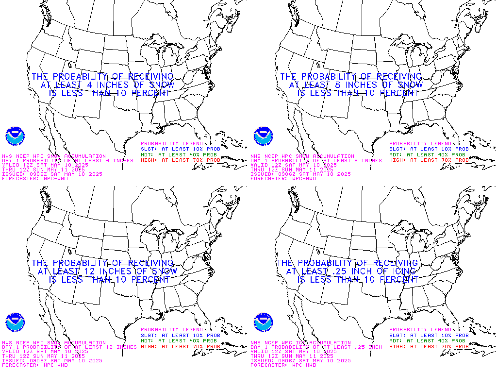
Day 1 - > 4" Snow - NWS/HPC
Day 1 - > 8" Snow - NWS/HPC
Day 1 - > 12" Snow - NWS/HPC
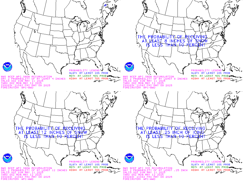
Day 2 - > 4" Snow - NWS/HPC
Day 2 - > 8" Snow - NWS/HPC
Day 2 - > 12" Snow - NWS/HPC
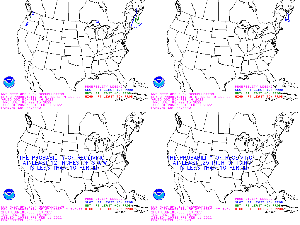
Day 3 - > 4" Snow - NWS/HPC
Day 3 - > 8" Snow - NWS/HPC
Day 3 - > 12" Snow - NWS/HPC
|
| Snowfall Rate Table |
Visibility Reduction
(due to snow) | SnowFall Rate
(inches per hour) |
| 3 miles + | Trace |
| 2 miles | 1/10 |
| 1 1/2 miles | 1/8 |
| 1 mile | 1/4 |
| 3/4 mile | 1/4 - 1/2 |
| 1/2 mile | 3/4 - 1 |
| 1/4 mile | 1 - 2 |
| 1/8 mile | 2+ |
|
|
| Freezing Rain |
|
Day 1
- Freezing Rain - NWS/HPC
Day 2
- Freezing Rain - NWS/HPC
|
Day 3
- Freezing Rain - NWS/HPC |
|
| Models |
|
NAM Winter Weather Plots - Unisys
NAM Cumulative Snow Forecast - Unisys
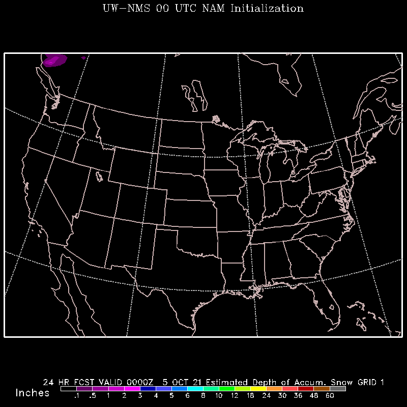
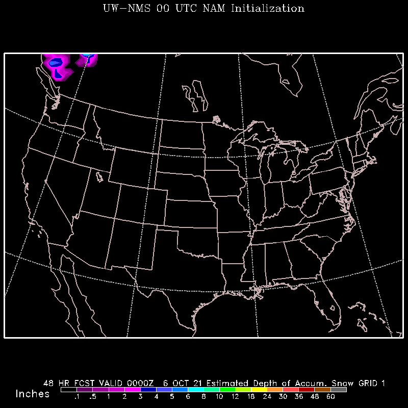
NMS Model Snow Total Forecast - Univ of Washington
00Z: 24 HR 48 HR
12Z: 24 HR 48 HR
|
Canadian Winter Weather Forecasts - Environment Canada
Short-Range Ensemble Forecast - Winter Weather Impact Graphics - NCEP
RUC 24-hour Snow Accumulations - NOAA
|
|
| Other |
|
National
Snow Analysis - NWS/NOHRSC
National Snow Summary - NWS/NOHRSC
Experimental
Snow Products - NWS/NOHRSC
Previous
Day Snowfall - NCDC
Previous
2-Day Snowfall - NCDC
Previous
3-Day Snowfall - NCDC |
Previous
7-Day Snowfall - NCDC
State
Snowfall Charts - NCDC
Wind Chill Chart
Snow
Cover - The Weather Channel
Snow
Cover - USAF
Great Lakes
Water SFC Temp - GLSEA/NOAA
|
Approximate snowfall amounts at specified temperature ranges
Melt Water
Equivalent                     Temperature (degrees F)
 (inches)  34 to 28  27 to 20  19 to 15  14 to 10   9 to 0  -1 to -20 -21 to -40

 Trace       trace      0.1       0.2       0.3      0.4       0.5        1.0
 .01          0.1       0.2       0.2       0.3      0.4       0.5        1.0
 .02          0.2       0.3       0.4       0.6      0.8       1.0        2.0
 .03          0.3       0.5       0.6       0.9      1.2       1.5        3.0
 .04          0.4       0.6       0.8       1.2      1.6       2.0        4.0

 .05          0.5       0.8       1.0       1.5      2.0       2.5        5.0
 .06          0.6       0.9       1.2       1.8      2.4       3.0        6.0
 .07          0.7       1.1       1.4       2.1      2.8       3.5        7.0
 .08          0.8       1.2       1.6       2.4      3.2       4.0        8.0
 .09          0.9       1.4       1.8       2.7      3.6       4.5        9.0

 .10          1.0       1.5       2.0       3.0      4.0       5.0       10.0
 .11          1.1       1.7       2.2       3.3      4.4       5.5       11.0
 .12          1.2       1.8       2.4       3.6      4.8       6.0       12.0
 .13          1.3       2.0       2.6       3.9      5.2       6.5       13.0
 .14          1.4       2.1       2.8       4.2      5.6       7.0       14.0

 .15          1.5       2.3       3.0       4.5      6.0       7.5       15.0
 .16          1.6       2.4       3.2       4.8      6.4       8.0       16.0
 .17          1.7       2.6       3.4       5.1      6.8       8.5       17.0
 .18          1.8       2.7       3.6       5.4      7.2       9.0       18.0
 .19          1.9       2.9       3.8       5.7      7.6       9.5       19.0

 .20          2.0       3.0       4.0       6.0      8.0      10.0       20.0
 .21          2.1       3.1       4.2       6.3      8.4      10.5       21.0
 .22          2.2       3.3       4.4       6.6      8.8      11.0       22.0
 .23          2.3       3.4       4.6       6.9      9.2      11.5       23.0
 .24          2.4       3.6       4.8       7.2      9.6      12.0       24.0

 .25          2.5       3.8       5.0       7.5     10.0      12.5       25.0
 .30          3.0       4.5       6.0       9.0     12.0      15.0       30.0
 .35          3.5       5.3       7.0      10.5     14.0      17.5       35.0
 .40          4.0       6.0       8.0      12.0     16.0      20.0       40.0
 .45          4.5       6.8       9.0      13.5     18.0      22.5       45.0

 .50          5.0       7.5      10.0      15.0     20.0      25.0       50.0
 .60          6.0       9.0      12.0      18.0     24.0      30.0       60.0
 .70          7.0      10.5      14.0      21.0     28.0      35.0       70.0
 .80          8.0      12.0      16.0      24.0     32.0      40.0       80.0
 .90          9.0      13.5      18.0      27.0     36.0      45.0       90.0
1.00         10.0      15.0      20.0      30.0     40.0      50.0      100.0
2.00         20.0      30.0      40.0      60.0     80.0     100.0      200.0
3.00         30.0      45.0      60.0      90.0    120.0     150.0      300.0
This table gives a statistical relationship between amounts of snow that fall
and the corresponding water equivalent at specified temperature ranges.
The water equivalent and snow fall amounts are listed in inches. Temperature
ranges are listed in degrees Farenheit. These values are only approximate. The
Actual values for a specific storm can vary significantly from this table.
|
